■ DECRIPTION
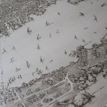
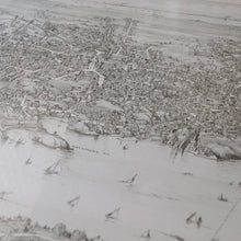
An antique map where you can see the description of 1909.
Marblehead, Massachusetts has prospered as a summer resort since ancient times, and this map also depicts the time when yachts and boats enjoyed playing in the sea.
The large sizing has an outstanding presence and can be used as the best hanging for space production.
Please consider the old map as it is an item that is highly evaluated even in the local United States.
■ CONDITION
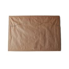
Some usability, the thin paper on the back has been replaced.
There is no problem in practical use and it should be considered as a good condition as a whole.
It is an item that came out of the bedroom when a house in Massachusetts was demolished.
■ FABRIC
WOOD FLAME
MADE IN USA
■ SIZE
Actual size: 98 cm x 68 cm


